Conservation
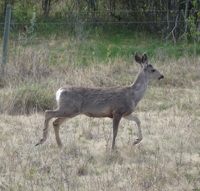
Wildlife conservation and management is a top priority for DRFN. Doig River Members and staff are active on the land, always upholding and advocating for traditional harvesting systems and protocols and ensuring wildlife are treated with respect when harvested.
Lands and Resources department staff are currently collecting wildlife data through camera trap programs and recording wildlife sightings and harvesting. We also use the ‘permission to hunt’ letters as a way to monitor wildlife and harvesting on the land.
Traditionally, permission to hunt was requested of Chief and Council by a prospective hunter from a different territory. This traditional practice was done to show respect for the Nation and the wildlife resource within the territory being hunted. The practice served as an opportunity for the Nation to understand hunting pressure, harvest levels and wildlife stewardship practices in their territory and helped inform their traditional role as wildlife stewards. The practice of requesting permission to hunt is not as common as it once was. DRFN and the COS collaborated on development of a modern ‘permission to hunt’ letter that places restrictions on species, timing and location and is enforced by the Conservation Officer Service during their inspections. This is a tool for the Nation to participate in wildlife management in their territory, contribute to improved stewardship, conservation and revive traditional cultural protocols.
Through the Aboriginal Liaison and Guardian Programs, our Lands staff are participating in a variety of training opportunities. These include shadowing conservation officers, participating in joint inspections and wildlife surveys with Provincial staff. These activities create opportunities for cross-cultural training as well as shared understanding of wildlife values and approaches to wildlife management.
Wildlife Initiatives
DRFN is working on developing inclusive habitat models for culturally important species. The models are developed using both vegetation and ecosystem mapping, geospatial tools and traditional knowledge. Community members are helping to validate the models in the field. These habitat models will inform a lot of work being done by the lands office including territorial restoration planning, caribou herd planning, land use planning, consultation, and development wildlife management strategies.
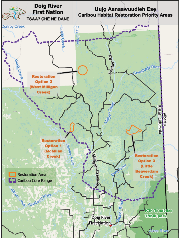
Caribou Management
The Chinchaga Caribou Ranges is located in the Boreal Forest Natural Region of northwest Alberta and northeast British Columbia. Chinchaga’s landscapes support the full range of the Chinchaga Woodland caribou herd, in addition to many other boreal wildlife species. Woodland caribou have been designated as threatened provincially and nationally, but proliferating surface disturbances throughout Chinchaga has diminished the quality and quantity caribou habitat further contributing to the decline of caribou populations. (Source)
Between 2016 and 2023, DRFN have been conducting community research to determine the significance of caribou to the Beaver culture and ecosystem. We are working on incorporating that research into the various management plans, and policies applied by the Lands Department.
Other key initiatives that DRFN is working on include:
- Wildlife Management Plan
- Land Use Plan
- Cultural burning plans
- Food security initiatives
- Climate adaptation planning
- Water Management Strategy
- Cumulative Effects Management Strategy
- Restoration Planning
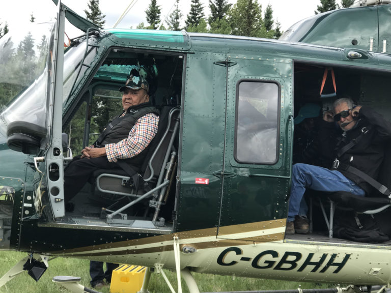
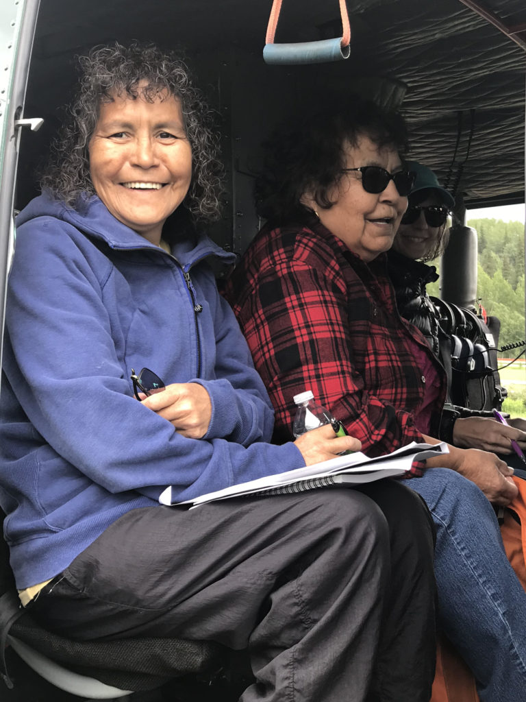
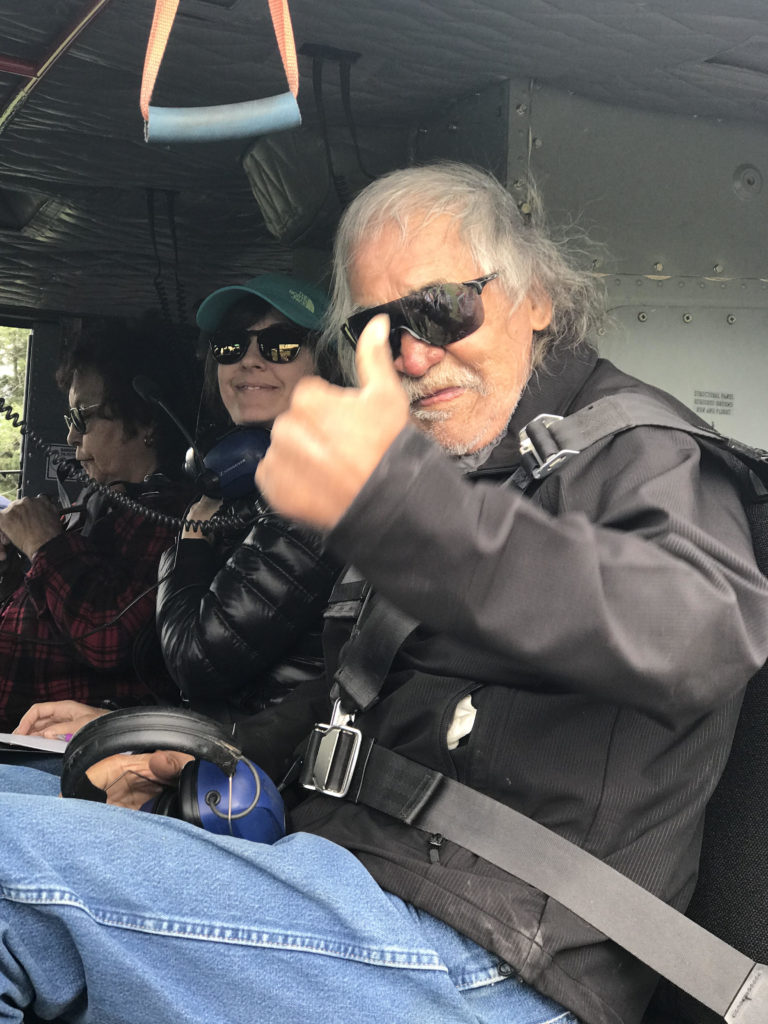
Hunting and Wildlife Management Gallery